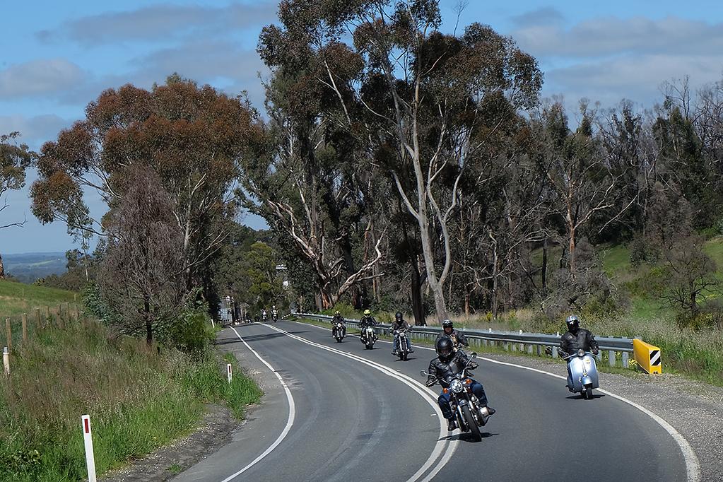
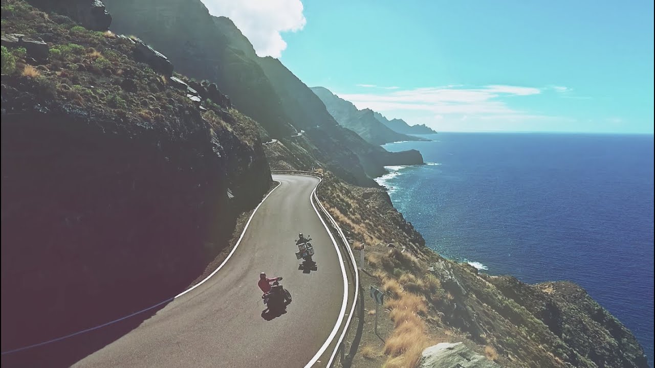
Ride.
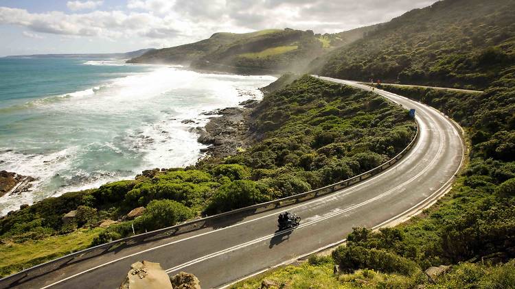
Melbourne to Adelaide coastal drive, also known as the Great Ocean Road route.
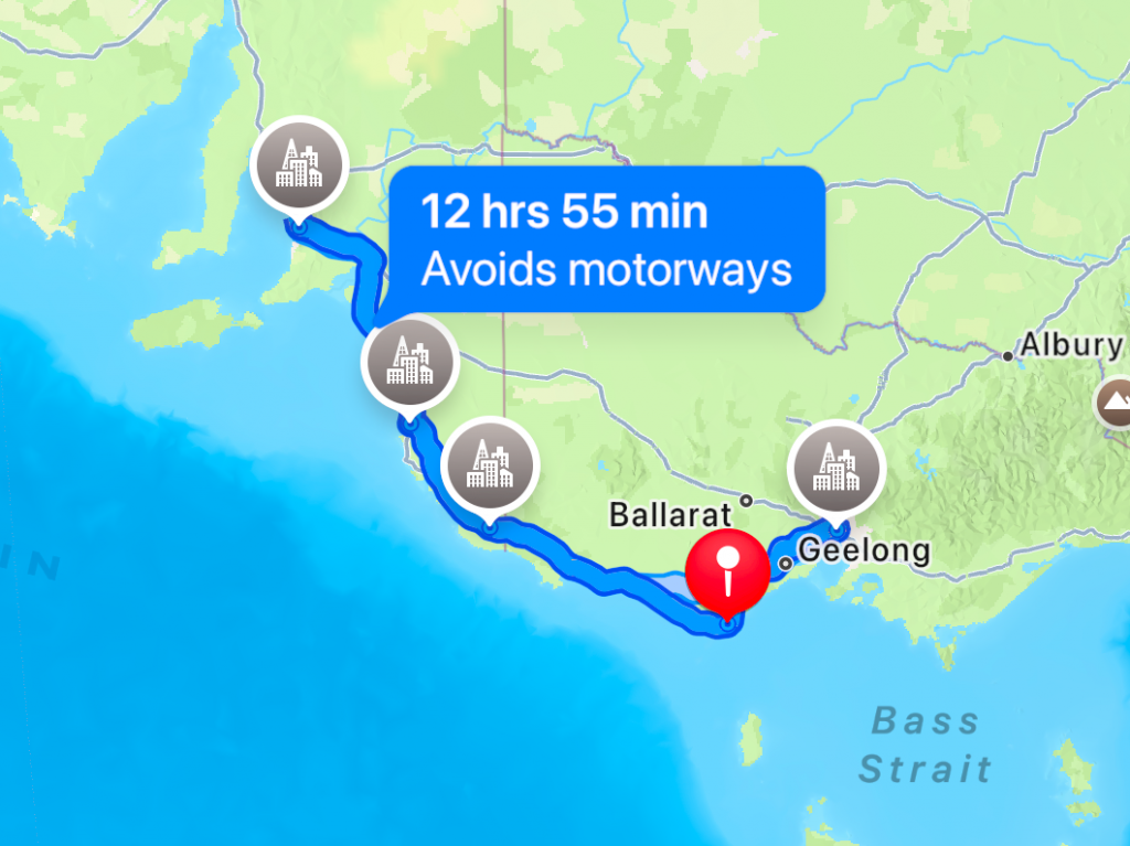
- Miles: 630
- Start: Adalaide
- End: Melbourne
- Time: 2 to 5 days, depending on stops
- Suitability: adventure, dual-sport, tourer A2 and above
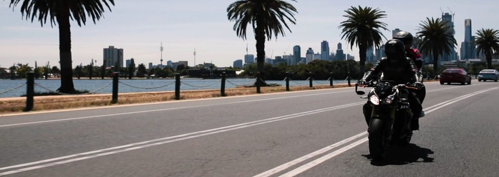
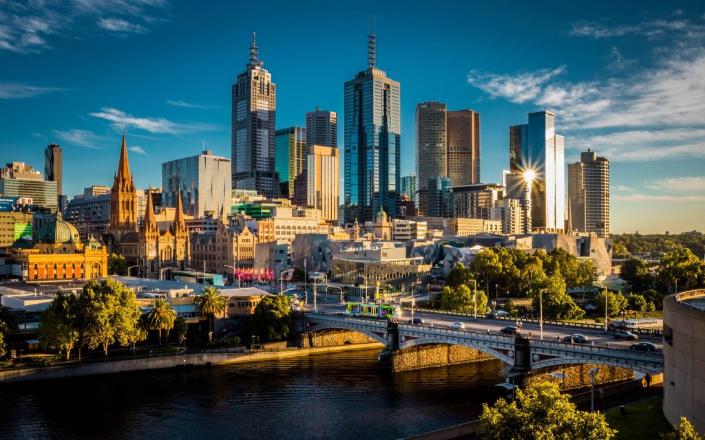
Melbourne is the capital and most populous city of the Australian state of Victoria, and the second-most populous city in Australia, after Sydney.
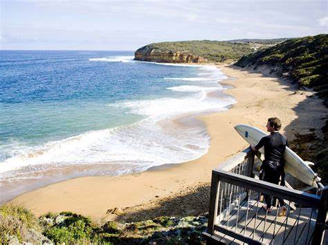
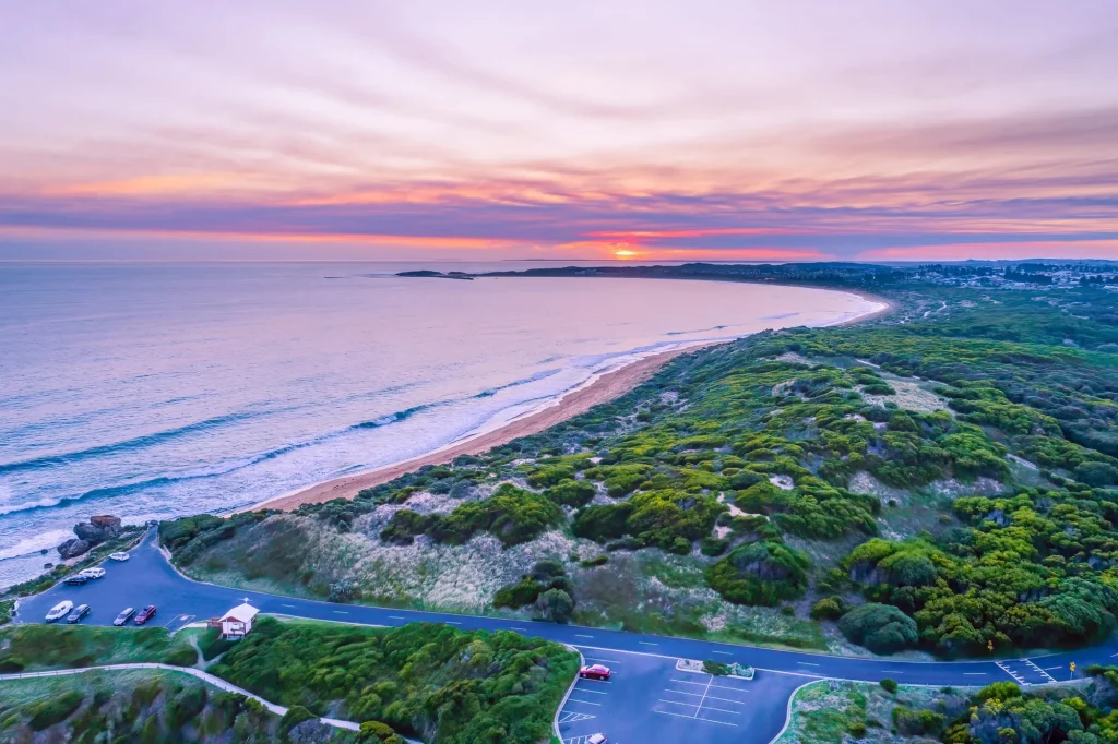
Torquay is a town in Surf Coast Shire, Victoria, Australia, which faces Bass Strait, 13 miles (21 km) south of Geelong and is the gateway to the Great Ocean Road. It is bordered on the west by Spring Creek and its coastal features include Point Danger and Zeally Bay.
Anglesea is a town in Victoria, Australia. It is located on the Great Ocean Road in the Surf Coast Shire local government area.
Originally known as Swampy Creek, the area’s name was changed to Anglesea River in 1884 when the township was established. A Post Office under that name opened on 16 April 1886. and was renamed Anglesea in 1950. The name derives from Anglesey, an island in North Wales.
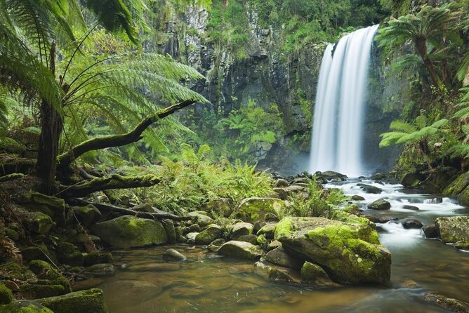
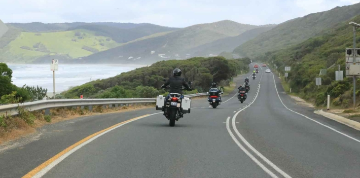
Great Otway National Park is a national park located in the Barwon South West region of Victoria, Australia. The 103,185-hectare (254,980-acre) national park is situated approximately 101 miles (162 km) southwest of Melbourne, in the Otway Ranges, a low coastal mountain range. It contains a diverse range of landscapes and vegetation types.
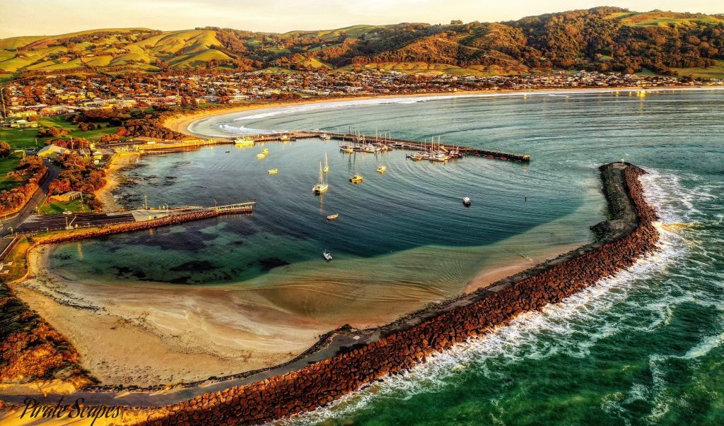
Apollo Bay is a coastal town in southwestern Victoria, Australia. It is situated on the eastern side of Cape Otway, along the edge of the Barham River and on the Great Ocean Road, in the Colac Otway Shire. It is a major tourist destination in Victoria. It is host to the annual Apollo Bay Seafood Festival, Winter Wild and the Great Ocean Road Running Festival. In winter to spring, southern right whales come to the area mainly to breed, bear their calves, and raise them in the warmer, calm waters of South Australia during their migration season. Less frequently, humpback whales can be seen off the coast.
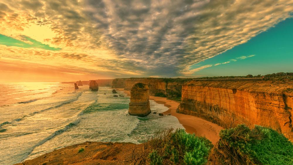
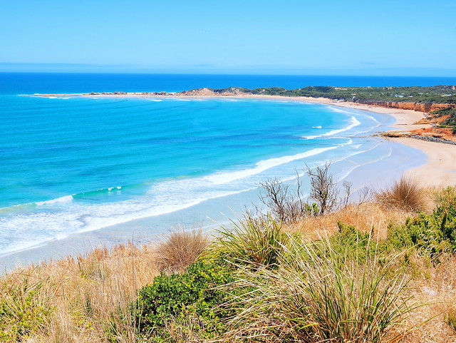
Port Campbell National Park is a national park in the south-western district of Victoria, Australia. The 1,750-hectare (4,300-acre) national park is situated approximately 120 miles (190 km) south-west of Melbourne. The park is located adjacent to the Great Otway National Park and the Bay of Islands Coastal Park.
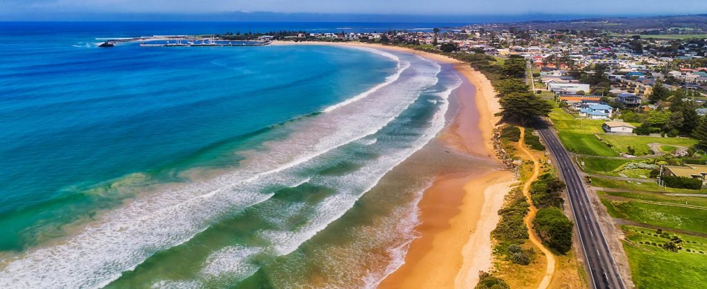
Warrnambool is a city on the south-western coast of Victoria, Australia. Situated on the Princes Highway, Warrnambool (Allansford) marks the western end of the Great Ocean Road and the southern end of the Hopkins Highway.
Princes Highway is a major road in Australia, extending from Sydney via Melbourne to Adelaide through the states of New South Wales, Victoria and South Australia. It has a length of 1,206 miles (1,941 km).
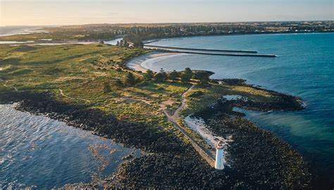
Port Fairy (historically known as Belfast) is a town in south-western Victoria, Australia. It lies on the Princes Highway in the Shire of Moyne, 17 miles (28 km) west of Warrnambool and 180 miles (290 km) west of Melbourne, at the point where the Moyne River enters the Southern Ocean.
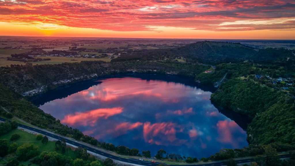
Mount Gambier is the second most populated city in South Australia. The city is located on the slopes of Mount Gambier, a volcano in the south east of the state, about 280 miiles (450 km) south-east of the capital Adelaide and just 11 miles 17 km) from the Victorian border.
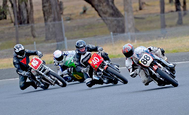
The Mount Gambier Motorcycle Club has many claims to uniqueness. It is one of the oldest motorcycling clubs in the country with a rich history dating back to at least 1913. It is the only motorcycle club in Australia, and one of very few in the world, to own it’s own road racing circuit.
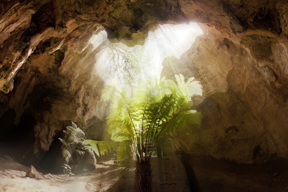
Naracoorte Caves National Park is a national park near Naracoorte in the Limestone Coast tourism region in the south-east of South Australia. It was officially recognised in 1994 for its extensive fossil record when the site was inscribed on the World Heritage List.
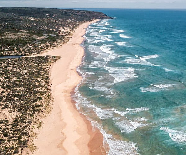
Coorong National Park is a protected area located in South Australia about 97 miles (156 km) south-east of Adelaide, that predominantly covers a coastal lagoon ecosystem. The beach on the coastal side of the peninsula, the longest in Australia, is also commonly called The Coorong.
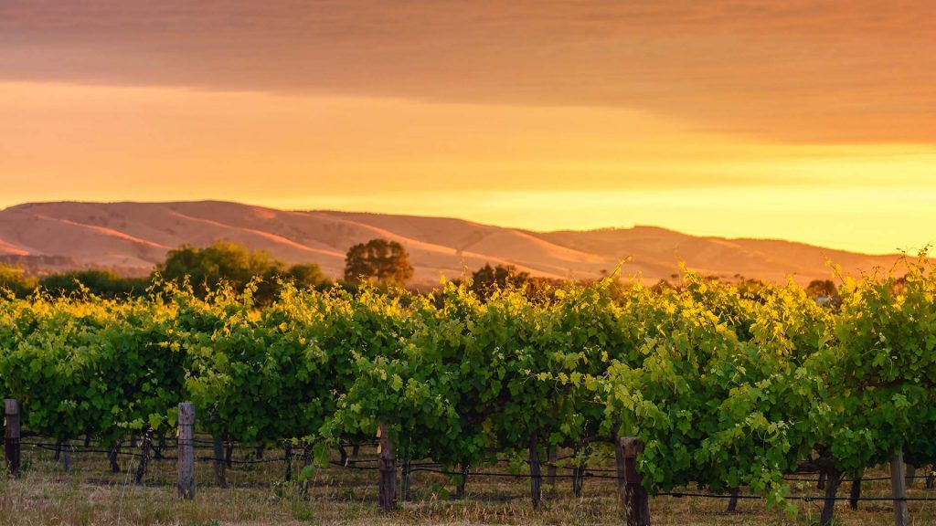
Adelaide Hills region is located in the southern Mount Lofty Ranges east of the city of Adelaide in the state of South Australia. The largest town in the area, Mount Barker is one of Australia’s fastest-growing towns. Before British colonisation of South Australia, the area was inhabited by the Peramangk people.
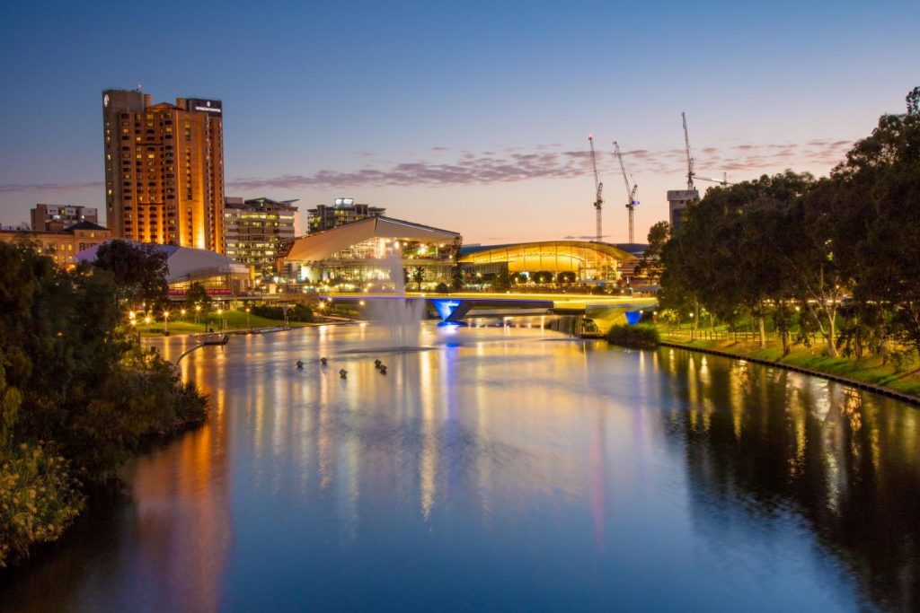
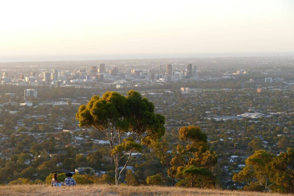
Adelaide is the capital and most populous city of South Australia, as well as the fifth-most populous city in Australia.
Adelaide is north of the Fleurieu Peninsula, on the Adelaide Plains between the Gulf St Vincent and the low-lying Mount Lofty Ranges. The city stretches 12 miles (20 km) from the coast to the foothills, and 56 miles (90 km) from Gawler at its northern extent to Sellicks Beach in the south.