Tour.
Two day Iceland tour.
Seydisfjordur, Kópasker & Seydisfjordur.
- Miles: 317
- Start: Seydisfjordur
- End: Seydisfjordur
- Time: 6 hours 41 mins according to Google Maps. I would suggest two days
- Suitability: adventure or tourer, A2 or above
A quick trip around breathtakingly stunning Iceland. I think there is more to see in Iceland per square mile than anywhere else in the World.
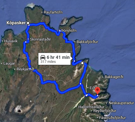
- Seydisfjordur (Fardagafoss & Gljúfursárfoss) 93, 1, 917
- Vopnafjörður 85
- Þórshöfn (Raudanes Point & Stóra Viðarvatn) 870
- Kópasker [over night stay]
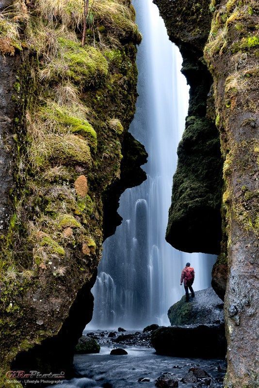
- Skinnastaðir (Hljóðaklettar national park) 85, 862 (Hafragilsfoss / Jökulsárgljúfur View Point & Suspension Bridge over Jökulsá á Fjöllum & Rjúkandi Waterfall)
- Egilsstaðir 93
- Seydisfjordur
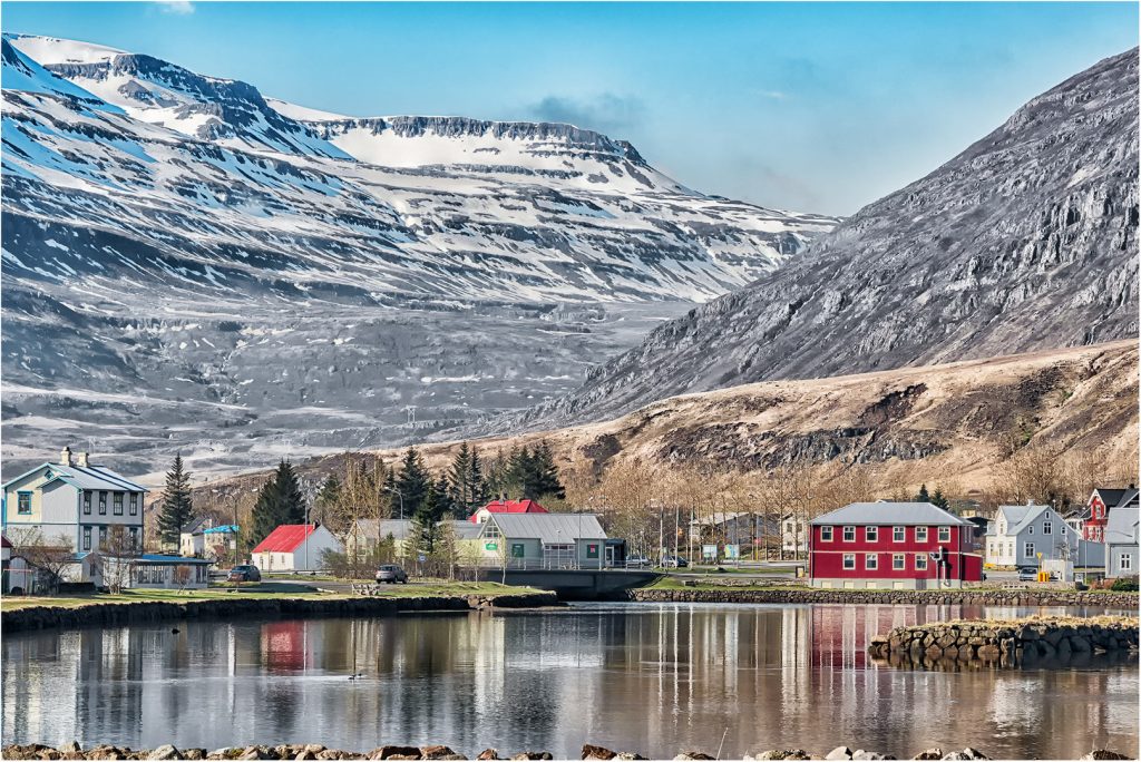
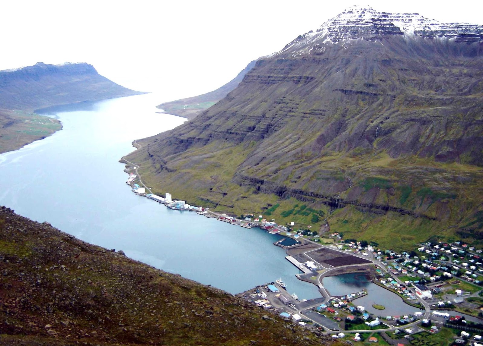
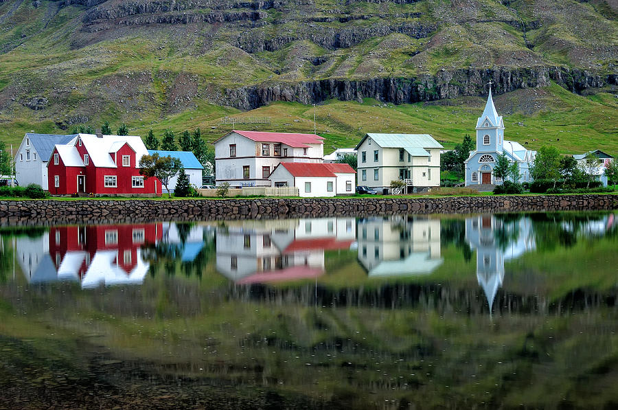
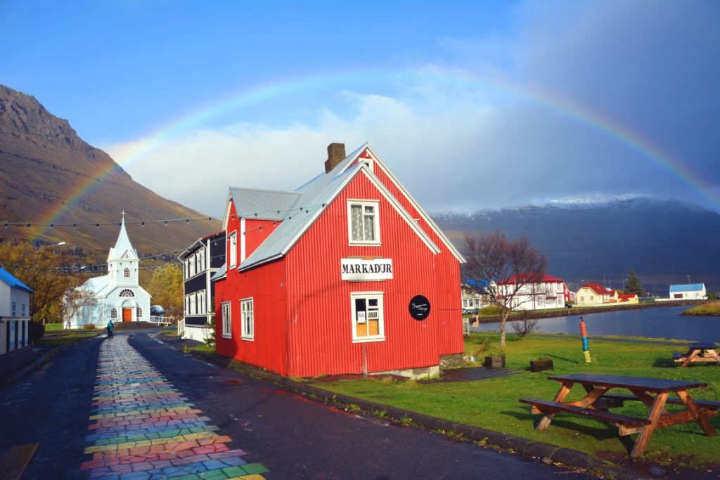
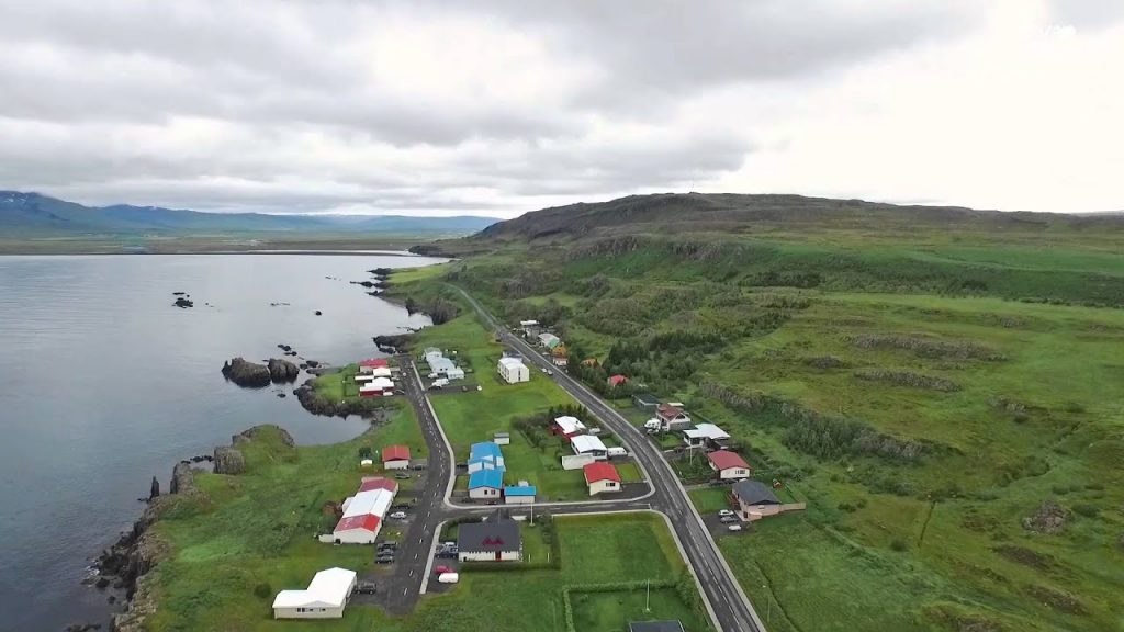
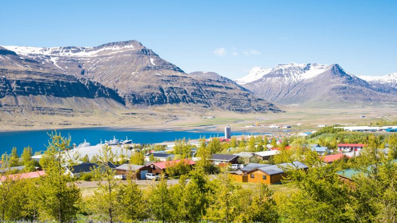
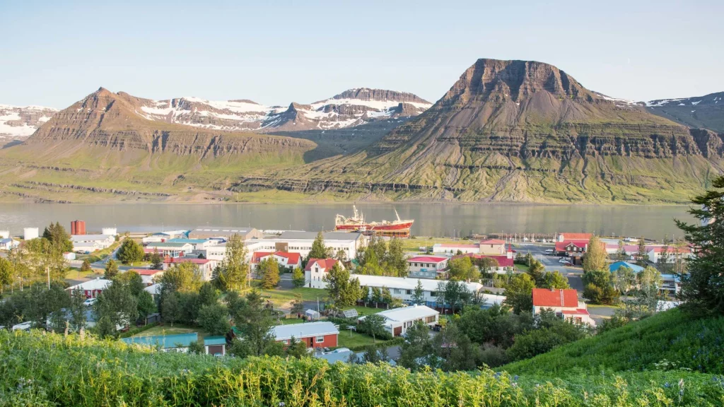
Seydisfjordur is a town in the Eastern Region of Iceland at the innermost point of the fjord of the same name. The town is located in the municipality of Múlaþing.
A road over Fjarðarheiði mountain pass (elevation 600 m or 2,000 ft) connects Seyðisfjörður to the rest of Iceland; 27 kilometres (17 miles) to the Ring Road and Egilsstaðir. Seyðisfjörður is surrounded by mountains with the most prominent Mt. Bjólfur to the west (1085 m) and Strandartindur (1010 m) to the east. The fjord itself is accessible on each side from the town, by following the main road that leads through the town.
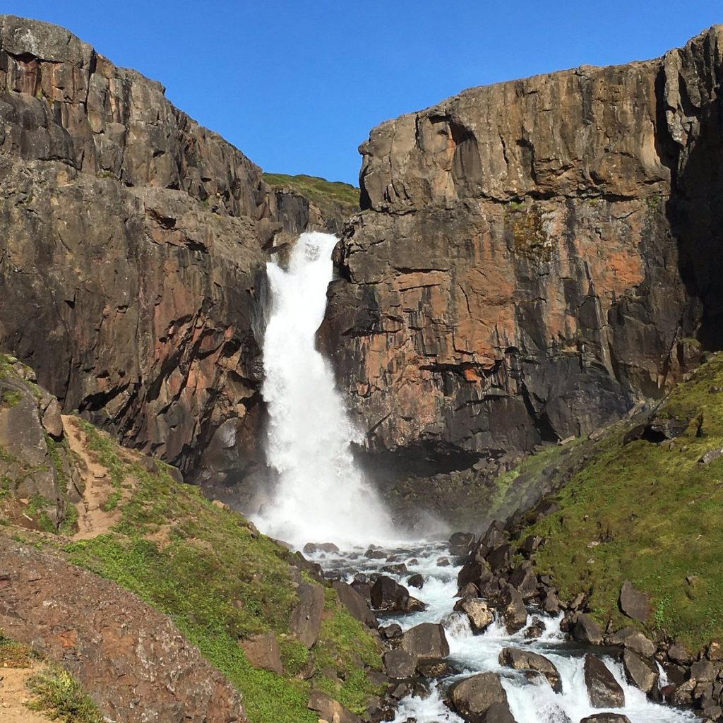
Fardagafoss
Fardagafoss waterfall is a gorgeous middle-sized waterfall of the Midhusaa river. From a cliff of 66 feet (20 meters), the cold waters of the river cascade dramatically into a rocky crevasse and then towards a narrow gorge.
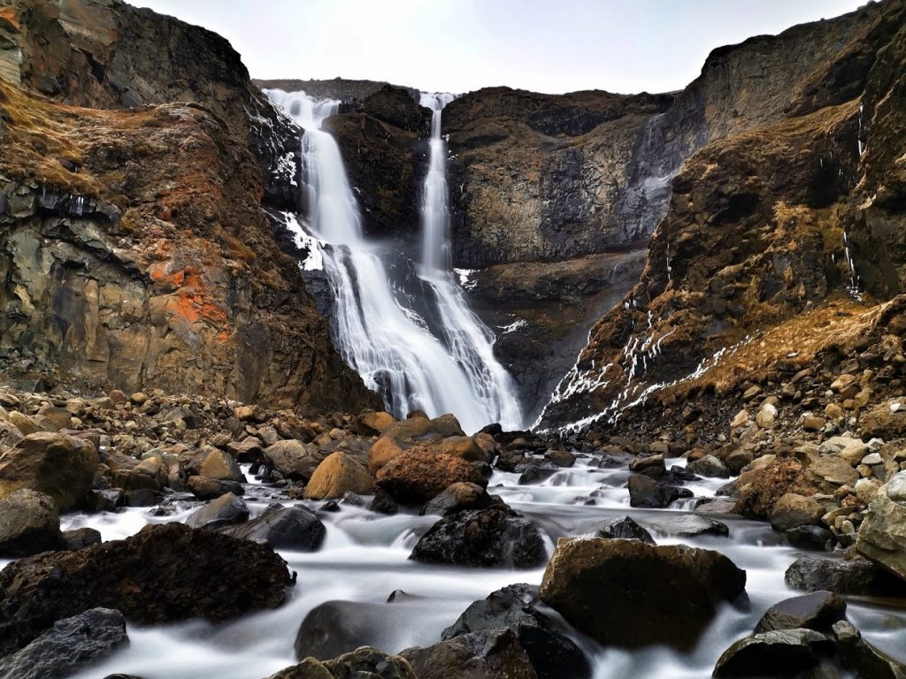
Gljúfursárfoss
Gljúfursárfoss Waterfall in Iceland is a single-drop waterfall in the northeast of the country. Interestingly, Gljúfursárfoss is one of the few waterfalls in Iceland and the World that end up directly into Oceans. Gljúfursárfoss is 45 meters (147.6 feet) high and offers a picturesque view. By the waterfall, there is a man-built platform for tourists to enjoy the scenic view over Vopnafjörður fjord.
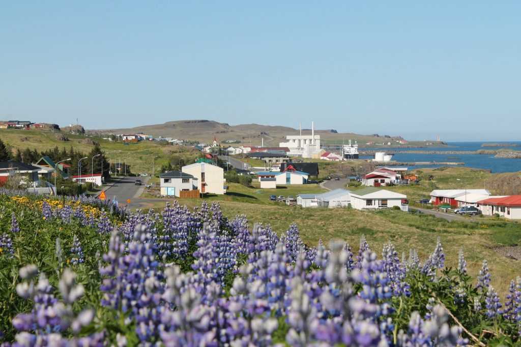
Vopnafjörður is a village and municipality in Northeast Iceland, standing on a peninsula in the middle of a mountainous bay by the same name. The main industries of Vopnafjörður are fish processing, agriculture and tourism and other services.
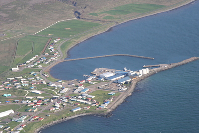
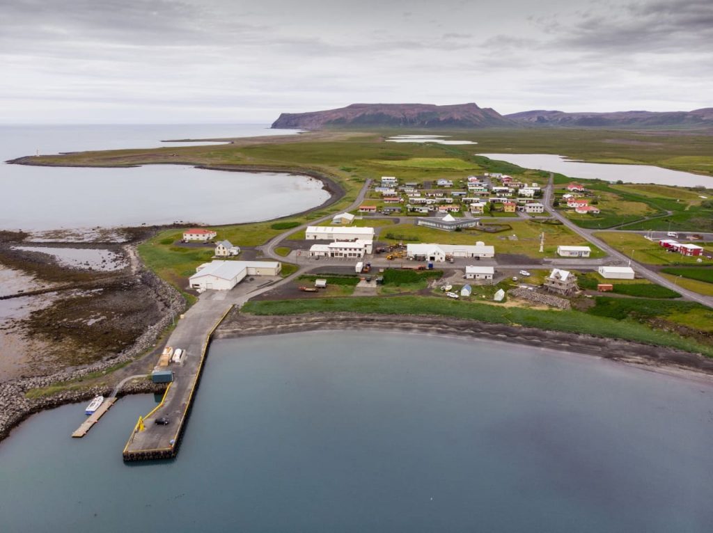
Þórshöfn or Thorshofn is a small fishing village in northeast Iceland, located on the northern coast of the Langanes peninsula on the Þistilfjörður bay.
The village has a population of 380 people. In Þórshöfn there is a year-round service to tourists, and Icelandair connects the village to Akureyri and Reykjavík with seasonal flights from Þórshöfn Airport.
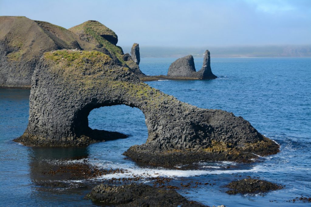
Raudanes Point
Rauðanes means Point Red and it is one of the pearls in Icelandic nature. The rock formations, caves, beautiful basalt, and volcanic arches are endless, it is like hiking in a fairyland.
The sea stacks are so different from what I have seen as they are not edged, but kind of oval in shape. The best-known sea stacks on Rauðanes cape are located on the north side of the cape. They are called Stakkar and are a pair of sea stacks, which are very popular photo models.
Stóra Viðarvatn
Viðarvatn, actually two lakes, Stóra–Viðarvatn and Litla–Viðarvatn (“Big and Little Viðarvatn”), good for fishing, southwest of Viðarfjall (410 m). From the larger lake the river Víðinesá flows out into Þistilfjörður.
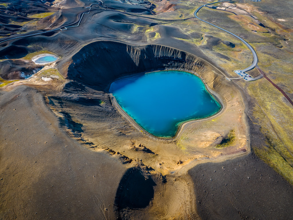
Kópasker Kópasker is a friendly village on the eastern shore of Öxarfjörður bay. A legal trading post was established here in 1880, and a village started slowly forming early in the 20th century. Its name derives from the skerry on which the breakwater was built and means seal pup skerry.
Skinnastaðir is a small village in northeastern Iceland.
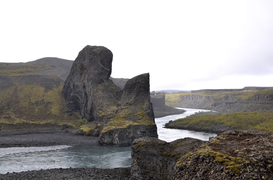
Hljóðaklettar national park
Hljóðaklettar Iceland, also known as “Echo Rocks,” is a collection of dramatic rock formations in Jökulsárgljúfur Canyon in Vatnajokull National Park.
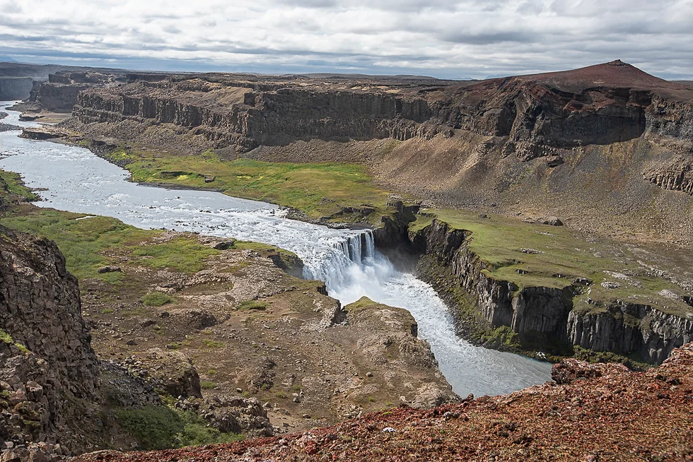
Hafragilsfoss / Jökulsárgljúfur View Point
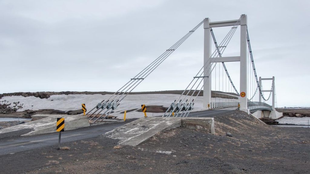
Suspension Bridge over Jökulsá á Fjöllum
Rjúkandi Waterfall
Egilsstaðir is a town in east Iceland on the banks of the Lagarfljót river.
Seydisfjordur back to the start.