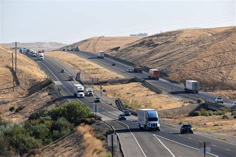
The Tejon Pass, previously known as Portezuelo de Cortes, Portezuela de Castac, and Fort Tejon Pass is a mountain pass between the southwest end of the Tehachapi Mountains and northeastern San Emigdio Mountains, linking Southern California north to the Central Valley. Both the pass and the grade north of it to the Central Valley are commonly referred to as “the Grapevine”. It has been traversed by major roads such as the El Camino Viejo, the Stockton – Los Angeles Road, the Ridge Route, U.S. Route 99, and now Interstate 5.
Tejon Pass marks the intersection of the two largest seismic faults in California; the San Andreas and Garlock fault systems.
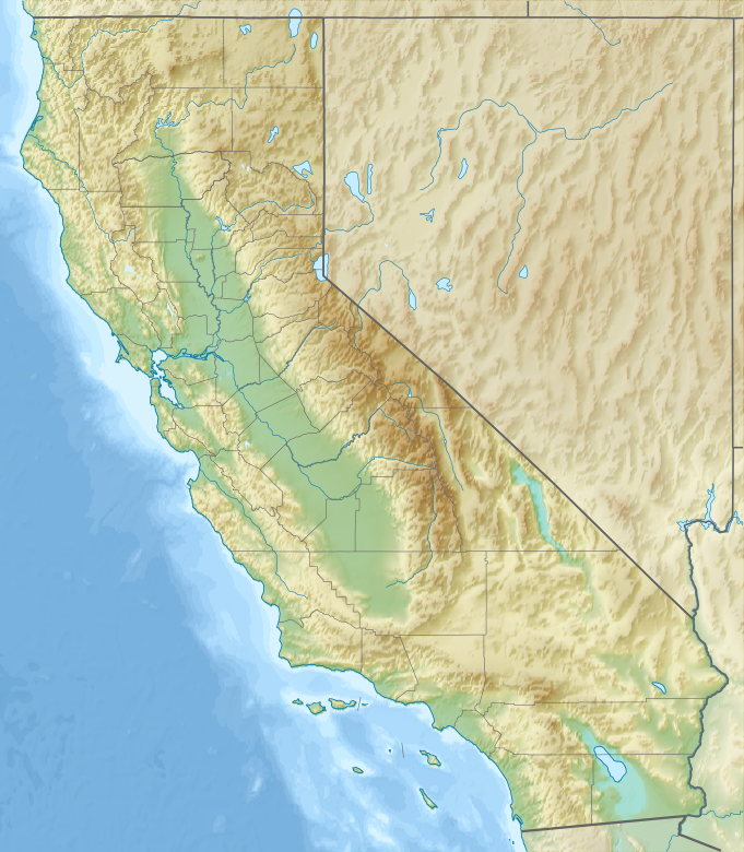
The highest point of the pass is near the northwesternmost corner of Los Angeles County, north of Gorman. Its elevation is 4,160 feet (1,270 m) along Peace Valley Road and Gorman Post Road, 70 miles (110 km) northwest of downtown Los Angeles and 46 miles (74 km) south of Bakersfield.
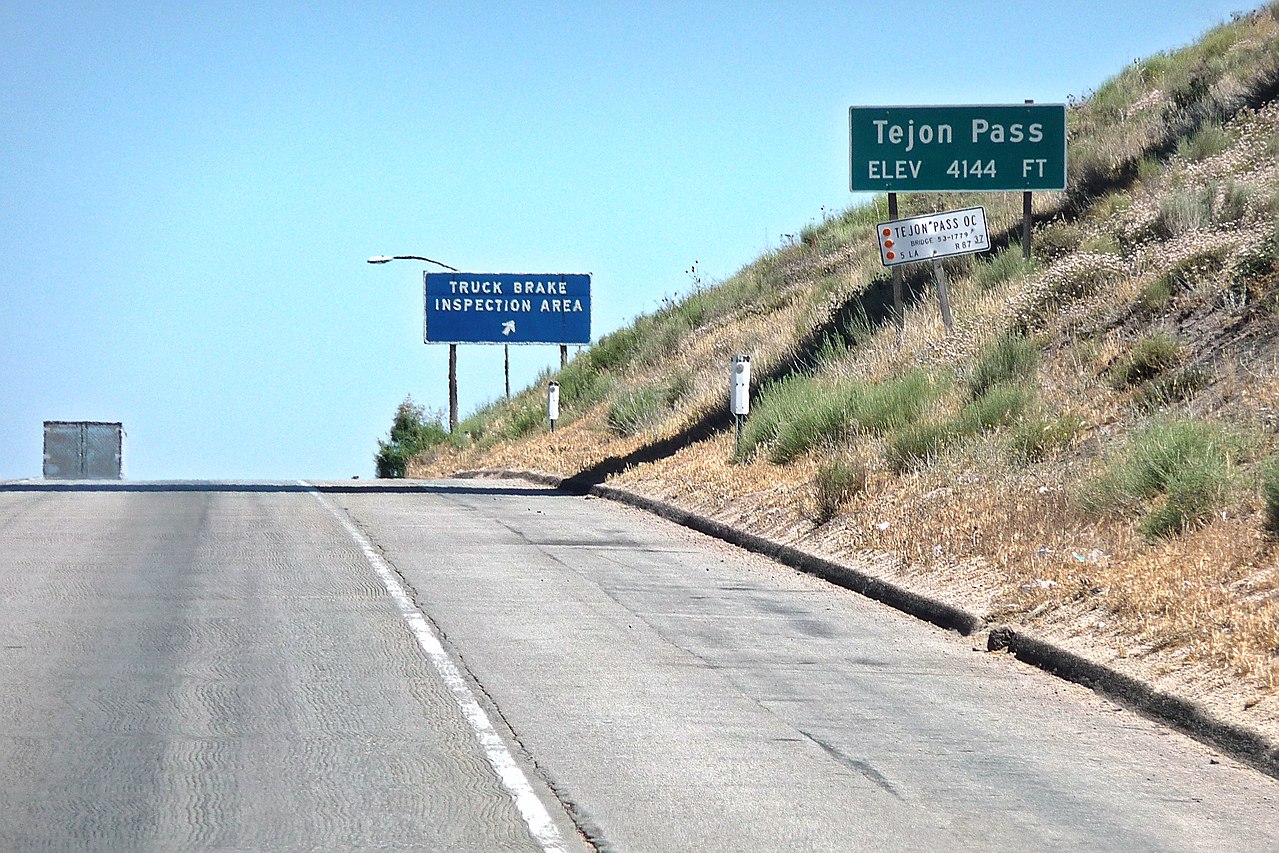
Interstate 5, which connects Southern California with the San Joaquin Valley and the north, reaches its highest point in the state, 4,144 feet (1,263 m), near the summit of Tejon Pass.
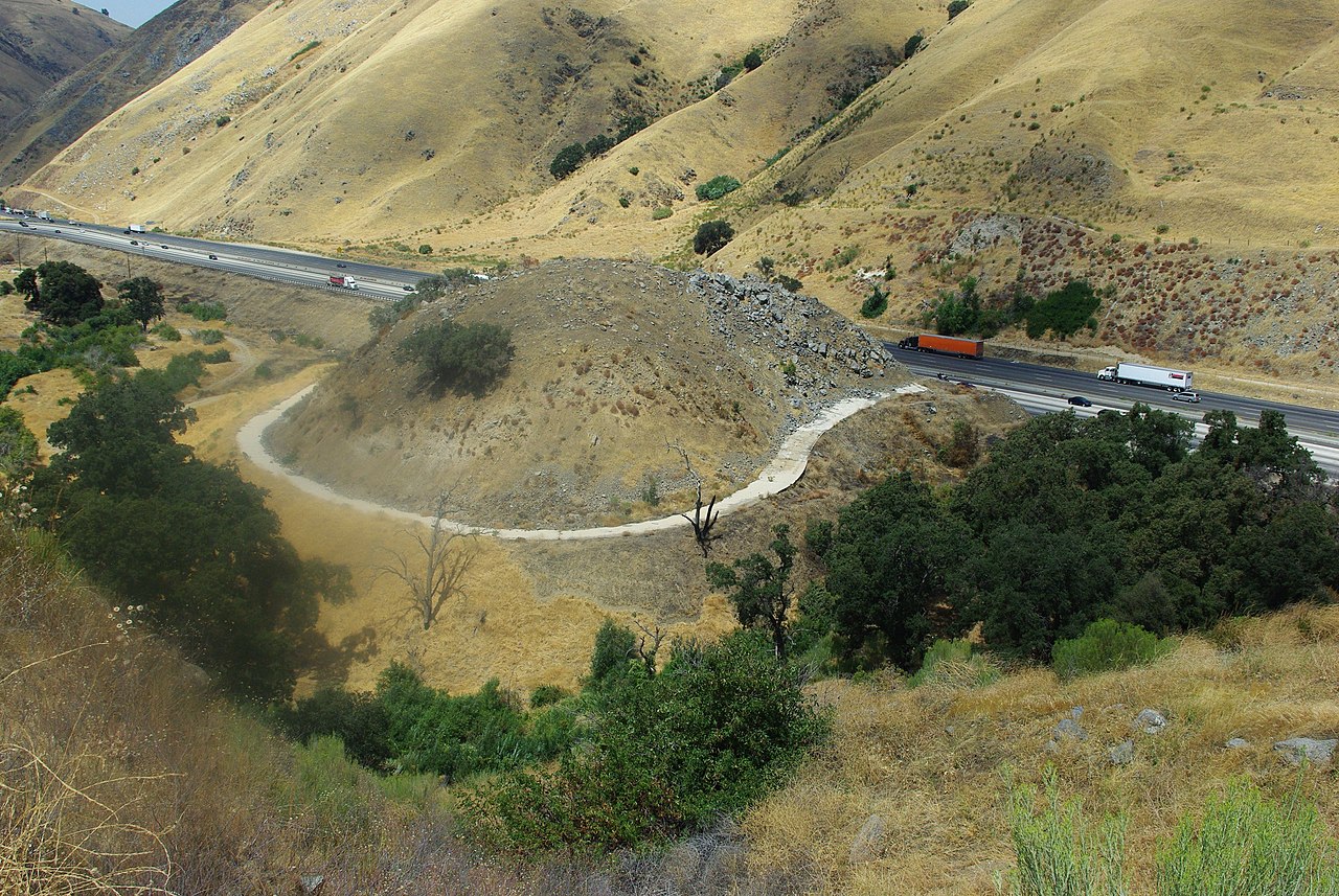
The pass has a gradual rise from its southern approach of 1,362 feet (415 m) at Santa Clarita, but a precipitous descent through Grapevine Canyon toward the San Joaquin Valley on the north, where it ends at Grapevine at 1,499 feet (457 m).
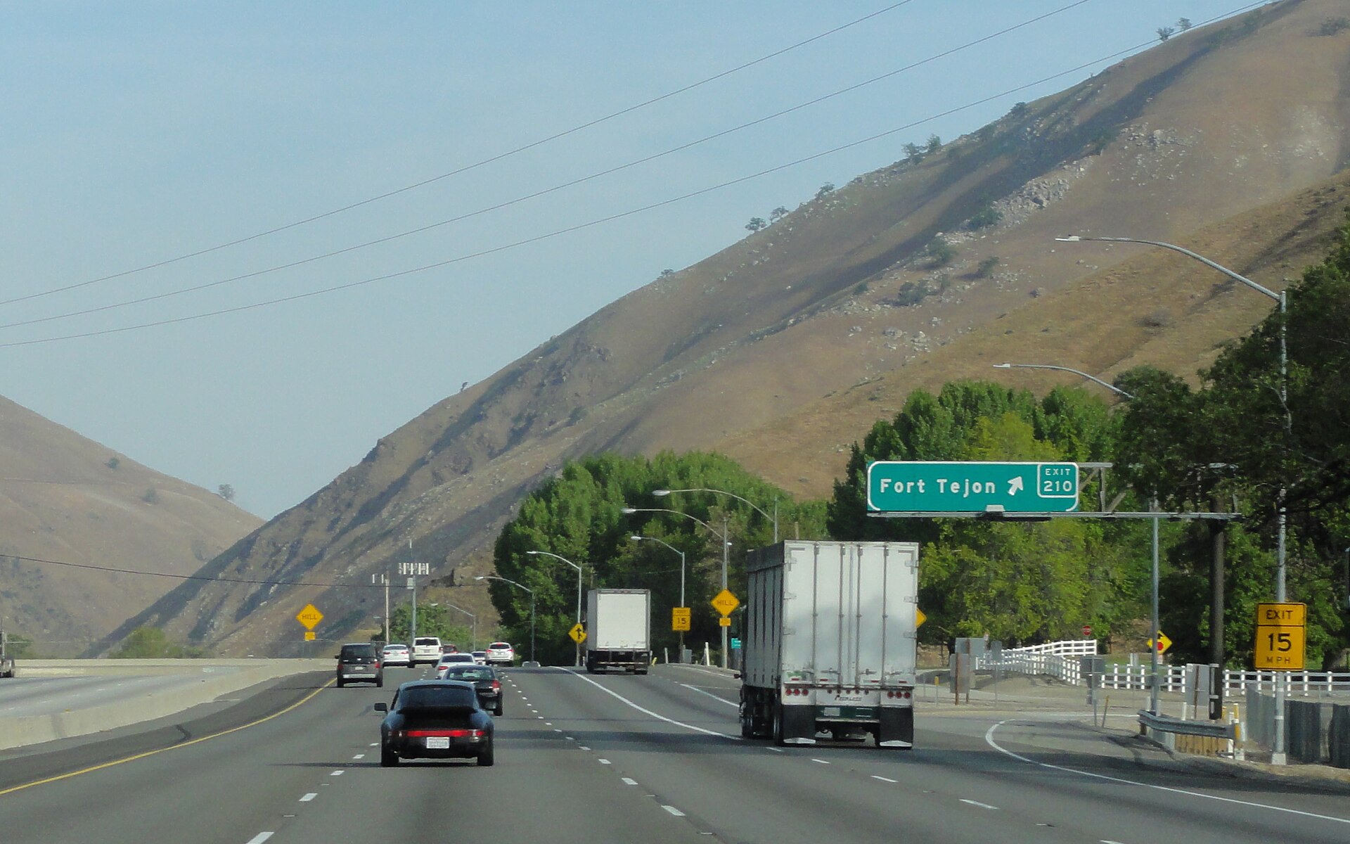
On its northward slope lies Fort Tejon State Historic Park, the site of a former U.S. Army post, first garrisoned on August 10, 1854.
The pass actually crosses 3 mountain ranges. The stretch from Lake Hughes Road to State Route 138 crosses the Sierra Pelona Mountains, and goes through the Angeles National Forest and the section from SR 138 to Grapevine crosses the Tehachapis and the San Emigdios.