Trip.
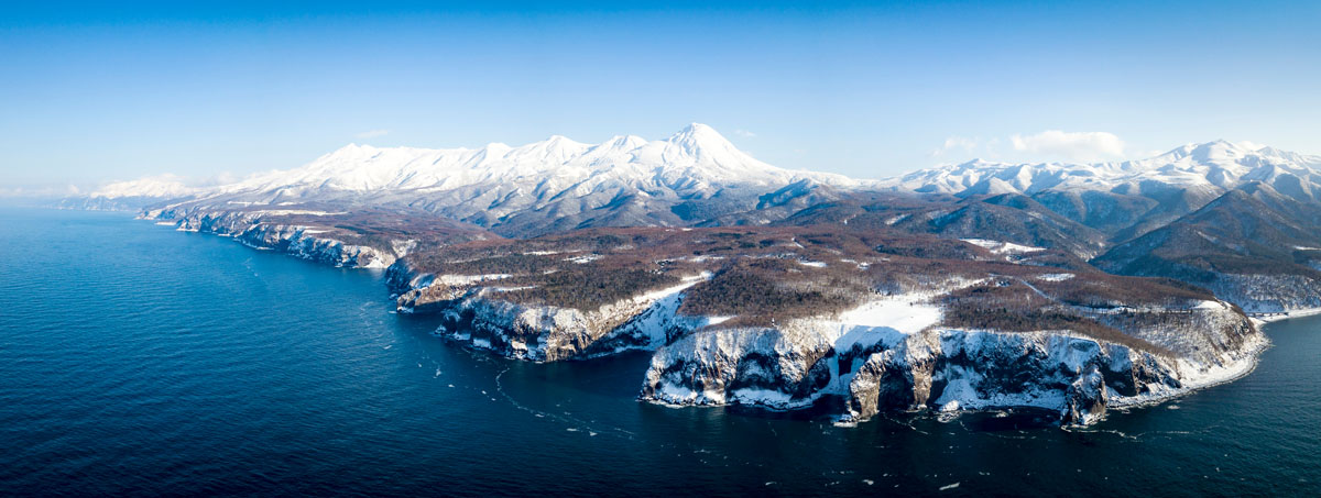
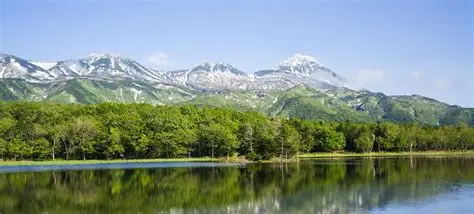
Shiretoko Peninsula
Also see the Shiretoko Pass
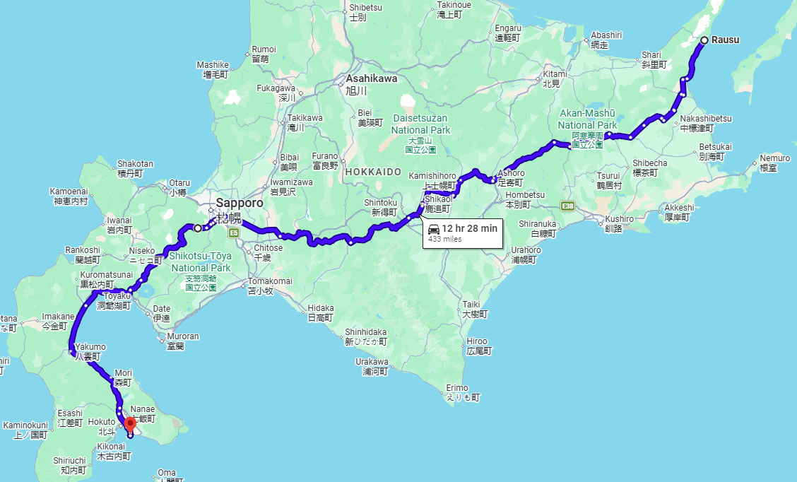
- Miles: 433
- Start: Rausu, Menashi District, Hokkaido
- End: Hakodate, Hokkaido
- Time: 2 to 3 days
- Suitability: any 125cc and above
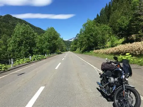
Hokkaidō, Japan’s northernmost island, offers an exceptional driving experience with its expansive, unspoiled landscapes, low population density, and an extensive network of well-maintained roads. However, the region’s severe winter conditions bring heavy snowfall, making travel during this season challenging and best avoided for safety reasons.
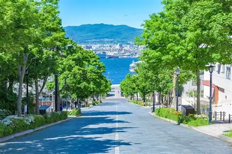
The recommended coast-to-coast journey spans more than 644 kilometers (400 miles) of open roadway, stretching from the UNESCO World Heritage-listed Shiretoko Peninsula in the east to the historic colonial port city of Hakodate in the west.
The Shiretoko Peninsula lies at the easternmost tip of Japan’s northernmost island, Hokkaido, extending into the Sea of Okhotsk. It is divided from Kunashiri Island by the Nemuro Strait. The name “Shiretoko” originates from the Ainu term sir etok, which translates to “the end of the Earth” or “the place where the Earth protrudes.” The peninsula is home to the towns of Rausu and Shari.
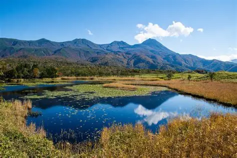
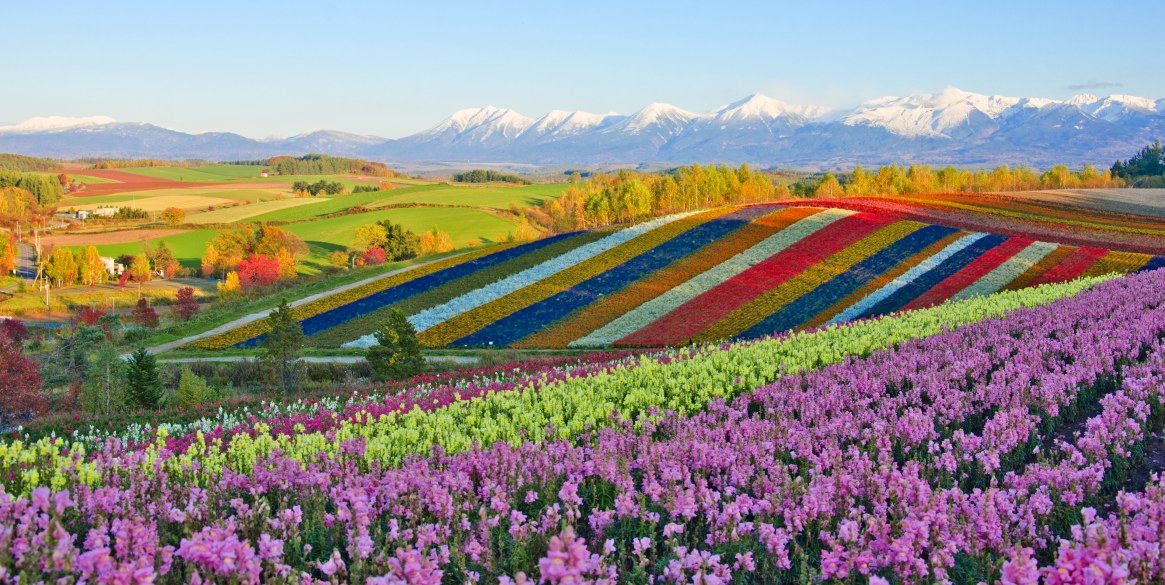
With so much natural beauty and fun stops along the way, this is a journey worth taking slow: the 17-mile (27km) perfectly straight “Road to Heaven” highway (天に続く道); the calderas and ancient forests of Akan-Mashū National Park; the “Roller Coaster Rd,” weaving almost vertically through Biei’s peaceful farmlands; and Sapporo, a vibrant entertainment hotspot and the biggest city north of Tokyo.