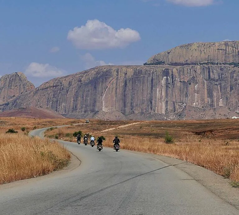
Ride.
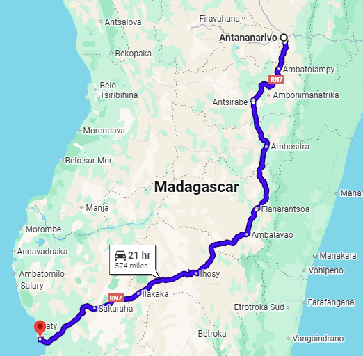
- Miles: 574
- Start: Antananarivo
- End: Toamasina
- Time: 4 to 14 days
- Suitability: any A2 and above
Including:
- Ranomafana National Park
- Andringitra National Park
- Anja Community Reserve
- Isalo National Park
- Zombitse-Vohibasia National Park
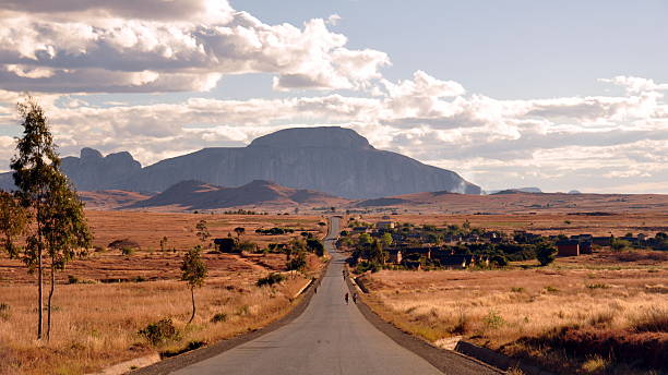
Route nationale 7 (RN7) is a major highway in Madagascar from the capital, Antananarivo, to Tulear on the southwest coast. It passes through the regions of Analamanga, Vakinankaratra, Amoron’i Mania, Haute Matsiatra, Ihorombe, and Atsimo-Andrefana. This road is one of the country’s most important and is generally well maintained.
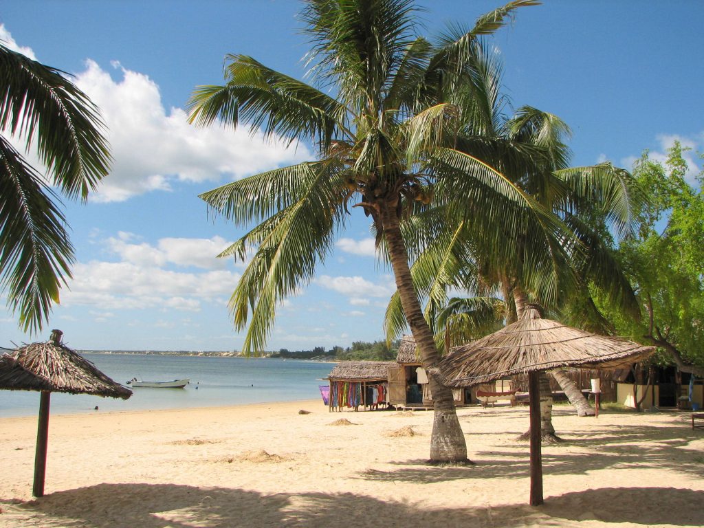
This one-way itinerary guides travellers from Antananarivo to Tuléar along the renowned RN7 road, showcasing an exceptional diversity of national parks. Discover the lush rainforest of Ranomafana, marvel at the rugged mountainous terrain of Andringitra National Park, and explore the arid deserts and striking canyons of Isalo. Conclude the journey through Madagascar with a tranquil retreat on the beach at Saint Augustin.
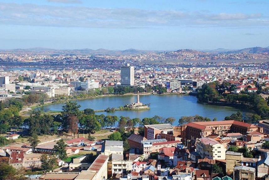
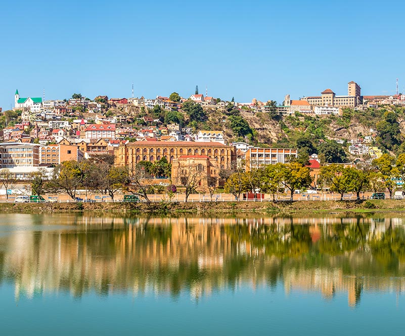
Antananarivo, is the capital and largest city of Madagascar. Its administrative area, Antananarivo-Renivohitra (“Antananarivo-Mother Hill” or “Antananarivo-Capital”), serves as the capital of the Analamanga region. Situated at an elevation of 1,280 m (4,199 ft) in the island’s center, it is the highest national capital by elevation among island nations. It has been the country’s most populous urban centre since at least the 18th century.
Ambatolampy, located in the Vakinankaratra Region of Madagascar’s Central Highlands, serves as the administrative capital of the district bearing the same name. Positioned along Route Nationale No. 7, it connects Antananarivo to Toliara. Additionally, Ambatolampy is a railway station on the Antananarivo–Antsirabe line, situated approximately 70 km south of the capital, Antananarivo.
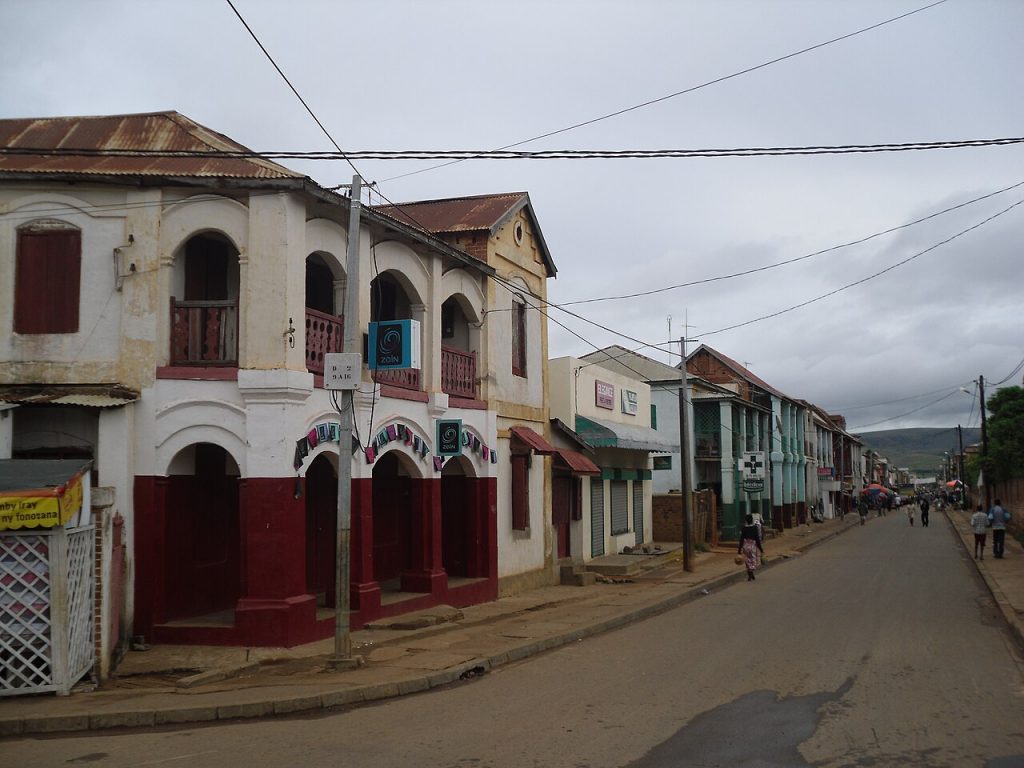
Fianarantsoa is a city in south-central Madagascar and serves as the capital of the Haute Matsiatra Region.
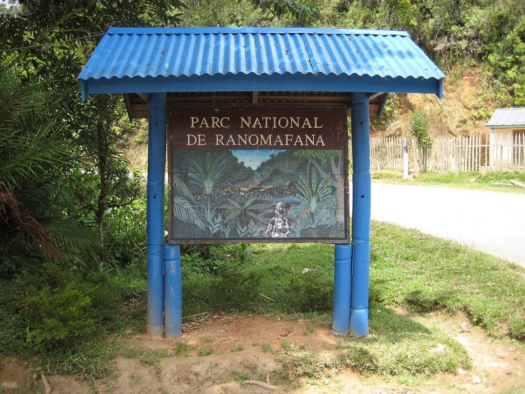
Ranomafana National Park, located in southeastern Madagascar within the Haute Matsiatra and Vatovavy regions, was established in 1991 as the country’s fourth national park. Its creation followed the rediscovery of the greater bamboo lemur (Hapalemur simus) and the discovery of the golden bamboo lemur (Hapalemur aureus) by primatologist Dr. Patricia Wright. Encompassing over 41,600 hectares (161 square miles) of tropical rainforest at elevations between 800 and 1,200 meters (2,600 to 3,900 feet), the park safeguards numerous rare plant and animal species.
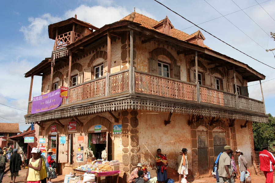
Ambalavao [amˌbalaˈvaw] is a city in Madagascar’s Haute Matsiatra region. Located at the southern edge of the Central Highlands, it sits close to the city of Fianarantsoa.
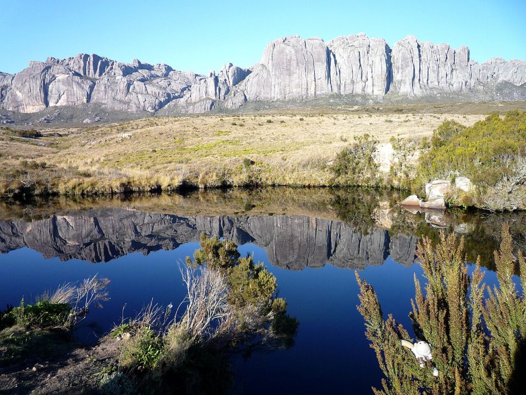
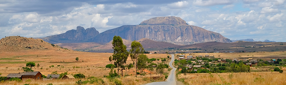
Andringitra National Park, located in Madagascar’s Haute Matsiatra region about 47 kilometers (29 miles) south of Ambalavao, was established in 1999 and is managed by the Madagascar National Parks Association. In 2007, it became part of the Rainforests of the Atsinanana, earning a spot on the World Heritage Site list.
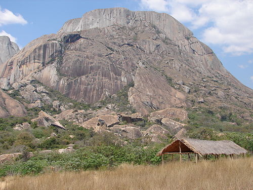
The Anja Community Reserve is a woodland area with a freshwater lake, located at the base of a large cliff. Much of the reserve is characterized by fallen rocks and boulders, with two small caves providing habitats for bats and owls. The pocket of forest nestled among the vast boulders offers significant sheltered habitat. Established in 2001 with support from the UNDP, the reserve aims to preserve the local environment and wildlife while providing additional employment and income for the local community.
Ihosy is a key crossroads in southern Madagascar, intersected by Route Nationale 7, which runs from the capital Antananarivo (600 km) through Fianarantsoa (191 km) to Toliara (325 km). It’s also the starting point for Route Nationale 13 to Tolagnaro and Route Nationale 27 to Farafangana (271 km). Located along the Ihosy River, the town is home to Ihosy Airport, a regional hub.
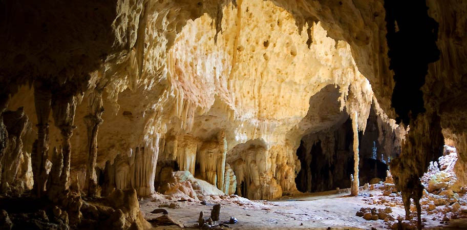
Nature lovers can easily explore Isalo National Park or enjoy birdwatching on the Horombe Plateau, home to marsh owls and harriers. Near Ranohira, the Andranomilitry Caves are famous for their stunning limestone formations and thriving bat colonies.

Ranohira is a town and commune in Madagascar, located in the Ihosy district of the Ihorombe Region. In 2018, it had a population of 16,041. The closest towns are Ilakaka, 26 km away, and Ihosy, 93 km away.
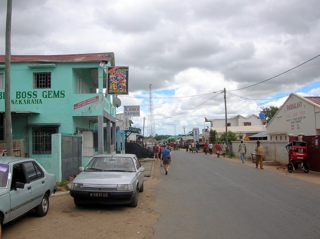
Sakaraha is located along Route Nationale No. 7 (Tuléar–Fianarantsoa), about 134 km from Tuléar, 64 km from Andranovory, and 84 km from Ilakaka. It sits right by the Zombitse-Vohibasia National Park.
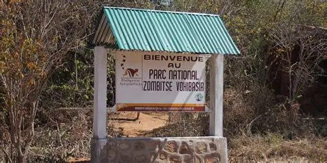
Zombitse-Vohibasia National Park, located in the Atsimo-Andrefana region of southwest Madagascar, lies 147 kilometres (91 miles) northeast of Toliara along National Road 7. The nearest airport is in Toliara, while the park office is situated in Sakaraha, 10 kilometres (6.2 miles) from the entrance. Covering 36,308 hectares (89,720 acres) across three sites, it encompasses the Zombitse Forest (16,845 hectares/41,620 acres), Isoky Vohimena (3,293 hectares/8,140 acres), and Vohibasia (16,170 hectares/40,000 acres). The Bara and Mahafaly peoples are the predominant ethnic groups in the area.
Toliara, also called Toliary and formerly known as Tuléar, is a city in southern Madagascar. It serves as the capital of the Atsimo-Andrefana region and lies about 936 km southwest of the national capital, Antananarivo.